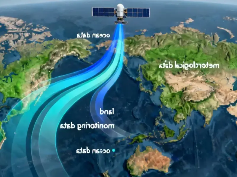
According to Phys.org, NASA and SpaceX successfully launched the Sentinel-6B satellite aboard a Falcon 9 rocket from Vandenberg Space Force Base on November 16 at 9:21 p.m. PST. The satellite, about the size of a pickup truck, established contact with a ground station in northern Canada just 1 hour and 30 minutes later with all systems functioning normally. This marks the latest in a series of ocean-observing missions dating back to the early 1990s, building directly on the work of its predecessor Sentinel-6 Michael Freilich launched in 2020. The satellite represents a major international collaboration between NASA, ESA, EUMETSAT, and NOAA, forming part of the European Union’s Copernicus mission family. Once operational, it will orbit Earth about 13 times daily at 830 miles altitude, measuring 90% of the world’s oceans with precision down to fractions of an inch.


Why this matters
Here’s the thing about sea level measurements – they’re not just about tracking climate change. This satellite provides actionable data that directly impacts daily life. We’re talking about improved hurricane forecasts that could save lives, better protection for coastal infrastructure worth billions, and safer navigation for commercial shipping. The satellite essentially acts as a precision thermometer in space, since warmer water expands and creates higher sea levels. That means researchers can literally see which parts of the ocean are heating up faster than others.
But it’s not just about the big picture. Local communities benefit too. When you understand tidal patterns down to the inch, you can make smarter decisions about everything from where to build homes to how to protect existing infrastructure. The data helps with flood predictions that safeguard real estate, energy storage sites, and other coastal assets. Basically, this is science that immediately translates into practical protection for people and property.
The international angle
What’s really impressive here is how many organizations came together to make this happen. We’ve got NASA providing launch services and science instruments, European agencies handling major contributions, and NOAA making sure the data gets to the people who need it. Simonetta Cheli from ESA called it an “exceptional satellite” that demonstrates what’s possible when international agencies work toward shared goals.
And let’s be honest – this level of cooperation isn’t always easy to achieve. But when it works, you get missions like Sentinel-6B that provide continuous, reliable data that everyone can trust. The fact that the previous satellite became the official reference for global sea level measurements shows how crucial this consistency is for the scientific community.
What happens now
So what’s the plan? Sentinel-6B will initially fly about 30 seconds behind its predecessor while they cross-calibrate their instruments. Once that’s done, the older satellite will move to a different orbit, and Sentinel-6B takes over as the primary reference satellite. This handoff ensures there’s no gap in the decades-long sea level record that scientists depend on to understand climate patterns.
The satellite’s advanced instruments – including the precision thermometer capability – will continue adding to what NASA’s Jet Propulsion Laboratory director Dave Gallagher calls a “vital dataset that America and a growing global community depend on.” For industries that rely on marine operations, including commercial fishing and shipping, this kind of reliable data is absolutely essential. When you’re dealing with massive container ships or offshore operations, having accurate wave height and current information isn’t just convenient – it’s a safety requirement.
Looking ahead, this mission sets the stage for even more sophisticated Earth observation. As NASA prepares for future launches, the technology and partnerships developed through Sentinel-6B will likely influence how we monitor our planet for decades to come. The real question is: what other critical Earth data could we be collecting with this level of international cooperation?